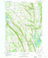
1955 Map of Otisco Valley
USGS Topo · Published 1971About this map
Otisco Lake and the glacially carved valleys of central New York define this mid-century landscape at the border of Onondaga and Cortland Counties. The mapping shows a deeply agricultural and recreational region, with the southern tip of the lake giving way to the sprawling State Reforestation Area and numerous family-named peaks like Canty Hill and Preble Hill. In the eastern corridor, the Tully Valley is characterized by its unique chain of kettle lakes, including Song Lake, Crooked Lake, and Tully Lake, where Assembly Park and Camp Hoover suggest a long-established summer community culture.
Find a feature on this map
83 named features on this map. Tap any name to fly to it.
Don’t see what you’re looking for? This feature index may not catch every label — zoom into the map to look around manually.
Map Details
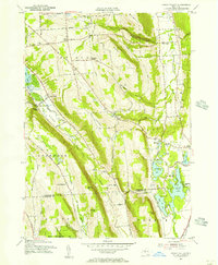
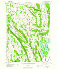
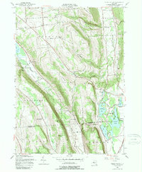
Editions of this 1955 Otisco Valley Map
4 editions found
Other maps of this area

1898 · Moravia
USGS Topo · 1:62,500

1899 · Skaneateles
USGS Topo · 1:62,500

1900 · Tully
USGS Topo · 1:62,500

1902 · Skaneateles
USGS Topo · 1:62,500

1902 · Moravia
USGS Topo · 1:62,500

1903 · Cortland
USGS Topo · 1:62,500

1943 · South Onondaga
USGS Topo · 1:31,680

1943 · Spafford
USGS Topo · 1:31,680

1943 · Jamesville
USGS Topo · 1:31,680

1943 · Otisco Valley
USGS Topo · 1:31,680