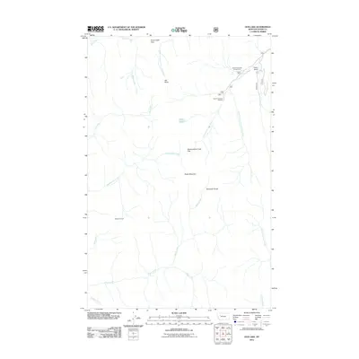
2011 Map of Our Lake
USGS Topo · Published 2011About this map
Rocky Mountain and the Sawtooth Range dominate this high-elevation landscape within Teton County, where the topography is defined by sharp peaks and deep drainages. In 2011, this area remains centered on wilderness recreation and water management, with the South Fork Teton River and its numerous tributaries like Headquarters Creek and Miners Fork carving through the terrain. Evidence of seasonal use and forest monitoring is found at the Beartop Lookout and the Scenic Waterfalls Campground.
Find a feature on this map
27 named features on this map. Tap any name to fly to it.
Don’t see what you’re looking for? This feature index may not catch every label — zoom into the map to look around manually.
Map Details
Editions of this 2011 Our Lake Map
This is the sole edition of this map. No revisions or reprints were ever made.
Other maps of this area

1903 · Saypo
USGS Topo · 1:125,000

1955 · Choteau
USGS Topo · 1:250,000

1957 · Choteau
USGS Topo · 1:250,000

1958 · Choteau
USGS Topo · 1:250,000

1958 · Ear Mountain
USGS Topo · 1:24,000

1958 · Cave Mountain
USGS Topo · 1:24,000

1958 · Porphyry Reef
USGS Topo · 1:24,000

1958 · Mount Wright
USGS Topo · 1:24,000

1958 · Our Lake
USGS Topo · 1:24,000

1958 · Glenn Creek
USGS Topo · 1:24,000