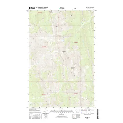
2017 Map of Our Lake
USGS Topo · Published 2017About this map
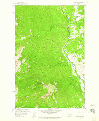
Lewis & Clark National Forest encompasses this high-elevation landscape, where the Sawtooth Range forms a dramatic backdrop for a network of headwater streams and mountain passes. The drainage patterns are defined by the Middle Fork Teton River and the S Fork Teton River, which flow through steep-walled canyons and narrow valleys like Green Gulch. Named peaks and ridges, including Old Baldy, Rocky Mtn, and Lonesome Ridge, dominate the skyline, reaching heights that dictate the paths of historic transit routes. Navigation through this formidable terrain relies on gaps such as Route Creek Pass and Headquarters Creek Pass. This area, centered on the high alpine waters of Our Lake, reflects the conservation of wild public lands in Teton County, where the topography remains largely untouched by modern development.
Find a feature on this map
27 named features on this map. Tap any name to fly to it.
Don’t see what you’re looking for? This feature index may not catch every label — zoom into the map to look around manually.
Map Details
Editions of this 2017 Our Lake Map
This is the sole edition of this map. No revisions or reprints were ever made.
Other maps of this area
1903 · Saypo
USGS Topo · 1:125,000

1955 · Choteau
USGS Topo · 1:250,000

1957 · Choteau
USGS Topo · 1:250,000
1958 · Choteau
USGS Topo · 1:250,000
1958 · Ear Mountain
USGS Topo · 1:24,000
1958 · Cave Mountain
USGS Topo · 1:24,000
1958 · Porphyry Reef
USGS Topo · 1:24,000
1958 · Mount Wright
USGS Topo · 1:24,000
1958 · Our Lake
USGS Topo · 1:24,000
1958 · Glenn Creek
USGS Topo · 1:24,000