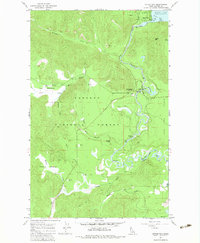
1967 Map of Outlet Bay
USGS Topo · Published 1983About this map
Outlet Bay marks the critical transition where the waters of Priest Lake flow south into the winding Priest River. This 1967 survey captures the northern reaches of the Kaniksu National Forest, a landscape defined by timbered slopes and river-bottom meadows like Gleason Meadow and Upper Meadows. Logging and recreation history are evident through the network of the Binarch Trail and various Jeep Trails that penetrate the backcountry. Significant river features such as Chipmunk Rapids and Mission Falls illustrate the water's descent toward Dickensheet Junction. The map details early infrastructure for travelers, including the Outlet Campground and the riverside Canoe Camp, alongside several Borrow Pits and Gravel Pits that suggest the maintenance of vital forest access roads during this era of mid-century forest management.
Find a feature on this map
32 named features on this map. Tap any name to fly to it.
Don’t see what you’re looking for? This feature index may not catch every label — zoom into the map to look around manually.
Map Details
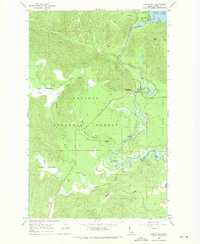
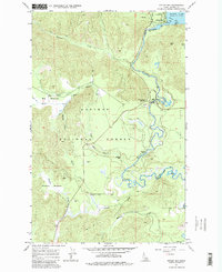
Editions of this 1967 Outlet Bay Map
3 editions found
Other maps of this area

1901 · Sandpoint
USGS Topo · 1:125,000

1911 · Priest Lake
USGS Topo · 1:250,000

1911 · Sandpoint
USGS Topo · 1:125,000

1913 · Priest Lake
USGS Topo · 1:250,000

1934 · Metaline
USGS Topo · 1:125,000

1936 · Newport
USGS Topo · 1:96,000

1942 · Metaline
USGS Topo · 1:125,000

1942 · Newport
USGS Topo · 1:125,000

1958 · Sandpoint
USGS Topo · 1:250,000

1963 · Sandpoint
USGS Topo · 1:250,000