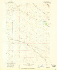
1957 Map of Owyhee
USGS Topo · Published 1964About this map
Owyhee stands as a primary stop along the Union Pacific (Oregon Short Line), serving as a critical infrastructure point in the high desert south of Boise. This 1957 survey illustrates a landscape defined by the intersection of water management and transportation, featuring a Water Tank at the rail siding and a sparse network of irrigation infrastructure like the Ditch systems and the Blacks Creek Reservoir. The terrain is deeply incised by drainages such as Tenmile Creek, Indian Creek, and Fivemile Canyon, which dictate the placement of local roads and the Landing Field.
Find a feature on this map
31 named features on this map. Tap any name to fly to it.
Don’t see what you’re looking for? This feature index may not catch every label — zoom into the map to look around manually.
Map Details
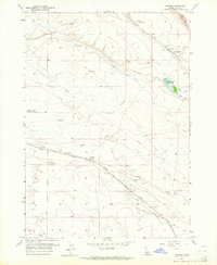
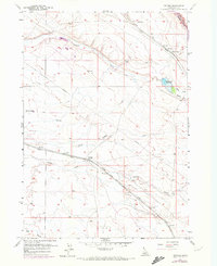
Editions of this 1957 Owyhee Map
3 editions found
Other maps of this area

1892 · Boise
USGS Topo · 1:125,000

1892 · Bisuka
USGS Topo · 1:125,000

1894 · Bisuka
USGS Topo · 1:125,000

1897 · Boise
USGS Topo · 1:125,000

1953 · Cloverdale
USGS Topo · 1:24,000

1954 · Boise South
USGS Topo · 1:24,000

1954 · Boise
USGS Topo · 1:62,500

1955 · Christmas Mtn
USGS Topo · 1:24,000
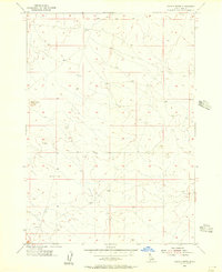
1955 · Coyote Butte
USGS Topo · 1:24,000

1955 · Orchard
USGS Topo · 1:24,000