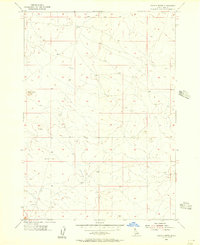
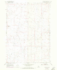
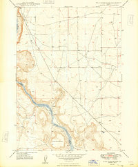
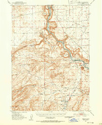
1955 Map of Coyote Butte
USGS Topo · Published 1956About this map
Coyote Butte rises as a prominent landmark in this high-desert landscape south of the Idaho state capital, surveyed just after the mid-century. This region of Ada County is defined by the rigid grid of the Public Land Survey System, specifically where the Boise Base Line separates Township 1 North from Township 1 South. The terrain consists of open rangeland with subtle elevation changes indicated by detailed 20-foot contours, leading toward the neighboring elevations of Christmas Mountain to the east. This 1955 field check by the Geological Survey documents the area during a period of minimal development, preserving the original desert topography and the early transit routes that follow the township and range lines.
Find a feature on this map
6 named features on this map. Tap any name to fly to it.
Don’t see what you’re looking for? This feature index may not catch every label — zoom into the map to look around manually.
Map Details
Editions of this 1955 Coyote Butte Map
2 editions found
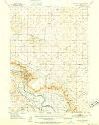
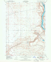
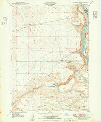
Other maps of this area

1892 · Bisuka
USGS Topo · 1:125,000

1894 · Bisuka
USGS Topo · 1:125,000
1947 · Wild Horse Butte
USGS Topo · 1:24,000
1948 · Big Foot Butte
USGS Topo · 1:24,000
1948 · Wild Horse Butte
USGS Topo · 1:24,000
1948 · Big Foot Butte
USGS Topo · 1:62,500
1948 · Sinker Butte
USGS Topo · 1:24,000
1949 · Sinker Butte
USGS Topo · 1:24,000
1949 · Oreana
USGS Topo · 1:62,500
1955 · Christmas Mtn
USGS Topo · 1:24,000