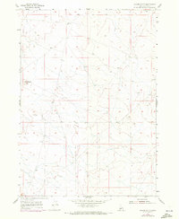
1955 Map of Coyote Butte
USGS Topo · Published 1972About this map
Coyote Butte rises as a prominent landmark in the landscape of Ada County, overlooking a network of unimproved trails and desert terrain south of the Boise Base Line. This 1955 survey, updated with 1971 aerial data, reveals a high-desert environment defined by its surveying infrastructure rather than dense settlement. The map serves as a detailed record of the township and range system, showing the precise alignment of section lines across the sagebrush-covered hills. Researchers interested in the historical geography of the Idaho desert can trace the early road network that connected this area to the larger Boise region, visible here before modern development expanded into the surrounding plains. The lack of permanent structures underscores the land's primary use for grazing and transit during the mid-twentieth century.
Find a feature on this map
2 named features on this map. Tap any name to fly to it.
Don’t see what you’re looking for? This feature index may not catch every label — zoom into the map to look around manually.
Map Details
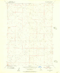
Editions of this 1955 Coyote Butte Map
2 editions found
Other maps of this area

1892 · Bisuka
USGS Topo · 1:125,000

1894 · Bisuka
USGS Topo · 1:125,000

1947 · Wild Horse Butte
USGS Topo · 1:24,000

1948 · Big Foot Butte
USGS Topo · 1:24,000

1948 · Wild Horse Butte
USGS Topo · 1:24,000

1948 · Big Foot Butte
USGS Topo · 1:62,500

1948 · Sinker Butte
USGS Topo · 1:24,000

1949 · Sinker Butte
USGS Topo · 1:24,000

1949 · Oreana
USGS Topo · 1:62,500

1955 · Christmas Mtn
USGS Topo · 1:24,000