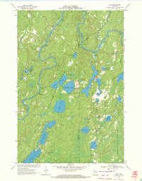
1970 Map of Oxbo
USGS Topo · Published 1972About this map
The North Fork Flambeau River winds through this heavily forested landscape in northern Wisconsin, serving as a primary corridor for recreation and timber history. Near the settlement of Oxbo, the river environment is characterized by distinctive features like Barnaby Rapids and Deadman Slough. The map documents a transition toward public land management and conservation, notably within the Kimberly-Clark Wildlife Area and around Connors Lake, where a Picnic Area and Connors Lake Lookout Tower overlook the water. Transportation and logistics are concentrated along the Sawyer Price Co Road, including the remote Mason Lake Landing Field. This 1970 snapshot reflects an era of established forest management and developed river access, marked by numerous named lakes such as Evergreen Lake, Swamp Lake, and Middle Price Lake that define the interior of Sawyer and Price counties.
Find a feature on this map
45 named features on this map. Tap any name to fly to it.
Don’t see what you’re looking for? This feature index may not catch every label — zoom into the map to look around manually.
Map Details
Editions of this 1970 Oxbo Map
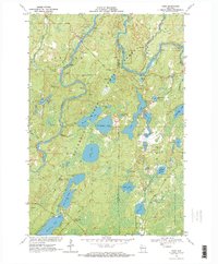
2 editions found
Other maps of this area

1941 · Kennan
USGS Topo · 1:48,000

1941 · Kennedy
USGS Topo · 1:48,000

1944 · Draper
USGS Topo · 1:48,000

1945 · Kennedy
USGS Topo · 1:48,000

1945 · Kennan
USGS Topo · 1:48,000

1945 · Ingram
USGS Topo · 1:48,000

1947 · Ingram
USGS Topo · 1:48,000

1947 · Draper
USGS Topo · 1:48,000

1953 · Rice Lake
USGS Topo · 1:250,000

1959 · Rice Lake
USGS Topo · 1:250,000