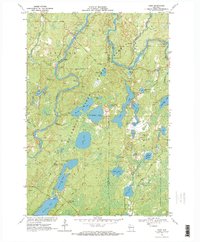
1970 Map of Oxbo
USGS Topo · Published 1972About this map
The Flambeau River winds through a dense landscape of glaciated wetlands and timberland within the Flambeau River State Forest at the start of the 1970s. This survey captures the small settlement of Oxbo along the river, characterized by recreational infrastructure like Wayside Park and several scattered Canoe Campsites. The region is defined by an intricate network of water bodies, including the expansive Connors Lake and the elongated Long Lake, interspersed with specific landmarks like the Connors Lake Lookout Tower and the remote Mason Lake Landing Field.
Find a feature on this map
46 named features on this map. Tap any name to fly to it.
Don’t see what you’re looking for? This feature index may not catch every label — zoom into the map to look around manually.
Map Details
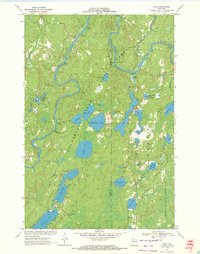
Editions of this 1970 Oxbo Map
2 editions found
Other maps of this area

1941 · Kennan
USGS Topo · 1:48,000

1941 · Kennedy
USGS Topo · 1:48,000

1944 · Draper
USGS Topo · 1:48,000

1945 · Kennedy
USGS Topo · 1:48,000

1945 · Kennan
USGS Topo · 1:48,000

1945 · Ingram
USGS Topo · 1:48,000

1947 · Ingram
USGS Topo · 1:48,000

1947 · Draper
USGS Topo · 1:48,000

1953 · Rice Lake
USGS Topo · 1:250,000

1959 · Rice Lake
USGS Topo · 1:250,000