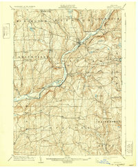
1904 Map of Oxford
USGS Topo · Published 1931About this map
The Chenango River serves as the central artery for this region of Chenango County, anchoring a network of valley settlements and upland farms at the start of the twentieth century. The river corridor is shared by two major rail lines, the Delaware Lackawanna and Western Railroad and the New York Ontario and Western Railroad, which connected centers like Oxford and South Oxford to wider markets.
Find a feature on this map
74 named features on this map. Tap any name to fly to it.
Don’t see what you’re looking for? This feature index may not catch every label — zoom into the map to look around manually.
Map Details
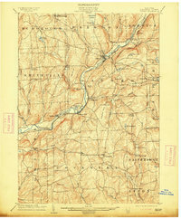
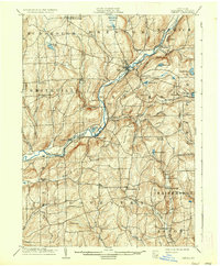
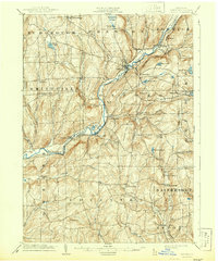
Editions of this 1904 Oxford Map
5 editions found
Other maps of this area

1902 · Coventry
USGS Topo · 1:62,500

1903 · Norwich
USGS Topo · 1:62,500

1904 · Binghamton
USGS Topo · 1:62,500

1904 · Greene
USGS Topo · 1:62,500

1904 · Oxford
USGS Topo · 1:62,500

1904 · Pitcher
USGS Topo · 1:62,500

1905 · Nineveh
USGS Topo · 1:62,500

1910 · New Berlin
USGS Topo · 1:62,500

1912 · New Berlin
USGS Topo · 1:62,500

1915 · Unadilla
USGS Topo · 1:62,500