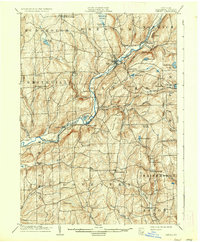
1904 Map of Oxford
USGS Topo · Published 1936About this map
The Chenango River corridor defines this Chenango County landscape, serving as the primary artery for both transport and industry at the dawn of the twentieth century. Two major rail lines, the New York Ontario and Western RR and the Delaware Lackawanna and Western RR, parallel the water, connecting the bustling village of Oxford and its namesake Oxford Sta. to the broader regional economy. The river's power is harnessed at sites like Robinson Mill, located near the village of Brisben. Beyond the valley floor, the terrain rises into a network of upland farming communities and landmarks such as Gospel Hill and Mowry Hill. Small hamlets like Smithville Center, Tyner, and Coventryville punctuate the ridges, connected by a dense web of early roads that served the local agricultural and timber trade during this era of rural development.
Find a feature on this map
66 named features on this map. Tap any name to fly to it.
Don’t see what you’re looking for? This feature index may not catch every label — zoom into the map to look around manually.
Map Details
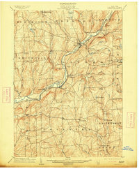
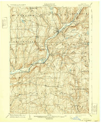
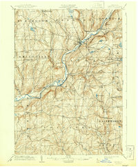
Editions of this 1904 Oxford Map
5 editions found
Other maps of this area

1902 · Coventry
USGS Topo · 1:62,500

1903 · Norwich
USGS Topo · 1:62,500

1904 · Binghamton
USGS Topo · 1:62,500

1904 · Greene
USGS Topo · 1:62,500

1904 · Oxford
USGS Topo · 1:62,500

1904 · Pitcher
USGS Topo · 1:62,500

1905 · Nineveh
USGS Topo · 1:62,500

1910 · New Berlin
USGS Topo · 1:62,500

1912 · New Berlin
USGS Topo · 1:62,500

1915 · Unadilla
USGS Topo · 1:62,500