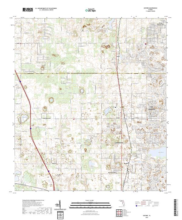
2024 Map of Oxford
USGS Topo · Published 2024About this map
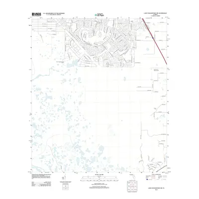
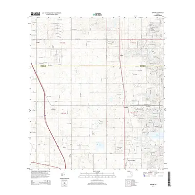
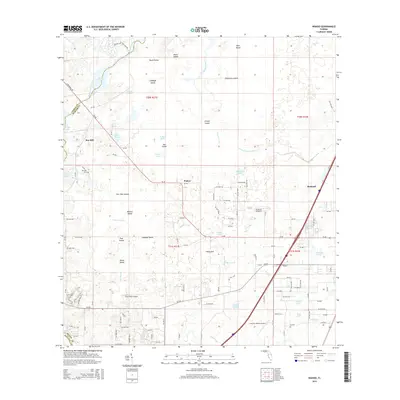
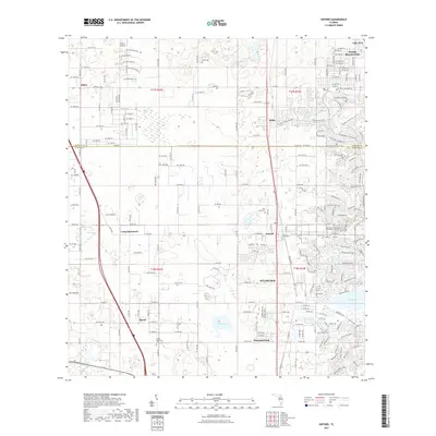
Oxford and Wildwood serve as the primary hubs in this central Florida landscape, where the rapidly expanding footprint of The Villages meets established agricultural and residential areas. The boundary between Marion Co and Sumter Co bisects the northern half of the sheet, crossing through settlements like Pedro and Orange Blossom Hills. A network of country roads, including Co Rd 42 and Co Rd 475, connects long-standing local landmarks such as Long Hammock and Nichols Pond.
Find a feature on this map
77 named features on this map. Tap any name to fly to it.
Don’t see what you’re looking for? This feature index may not catch every label — zoom into the map to look around manually.
Map Details
Editions of this 2024 Oxford Map
This is the sole edition of this map. No revisions or reprints were ever made.
Historical Maps of The Villages Through Time
26 maps found

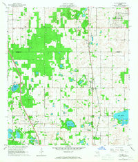
1893 Panasoffkee
Sumter County, FL
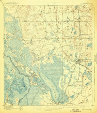
1895 Panasoffkee
Sumter County, FL
1958 Wahoo
Sumter County, FL
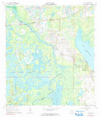
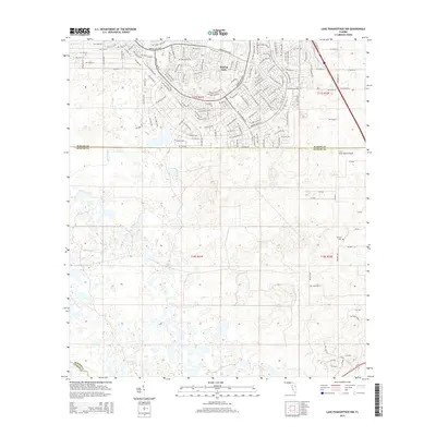
1966 Lake Panasoffkee NW
Sumter County, FL
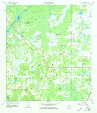
1966 Oxford
Sumter County, FL
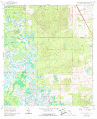
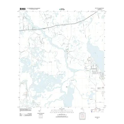
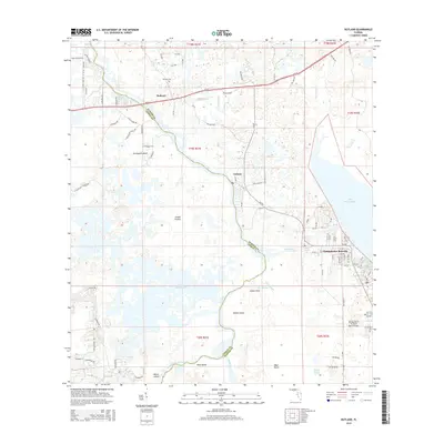
1967 Rutland
Sumter County, FL
2012 Lake Panasoffkee NW
Sumter County, FL
2012 Oxford
Sumter County, FL
2012 Rutland
Sumter County, FL

2012 Wahoo
Sumter County, FL
2015 Lake Panasoffkee NW
Sumter County, FL
2015 Oxford
Sumter County, FL
2015 Rutland
Sumter County, FL
2015 Wahoo
Sumter County, FL
2018 Lake Panasoffkee NW
Sumter County, FL
2018 Oxford
Sumter County, FL
2018 Rutland
Sumter County, FL

2018 Wahoo
Sumter County, FL
2021 Lake Panasoffkee NW
Sumter County, FL
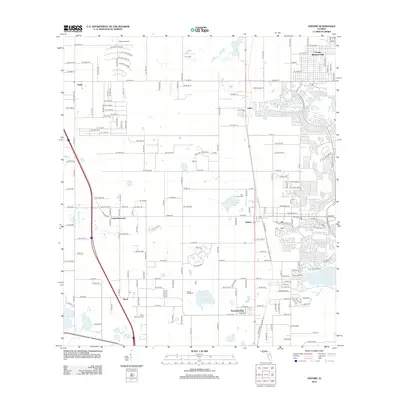
2021 Oxford
Sumter County, FL
2021 Rutland
Sumter County, FL
2021 Wahoo
Sumter County, FL
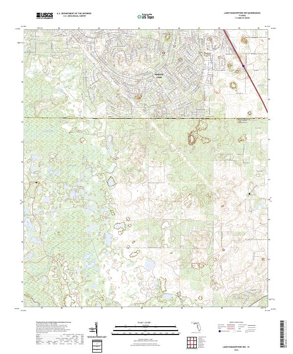
2024 Lake Panasoffkee NW
Sumter County, FL
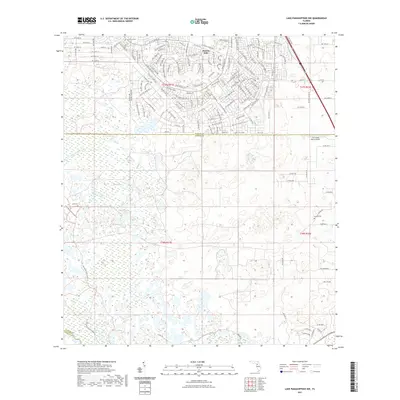
2024 Oxford
Sumter County, FL
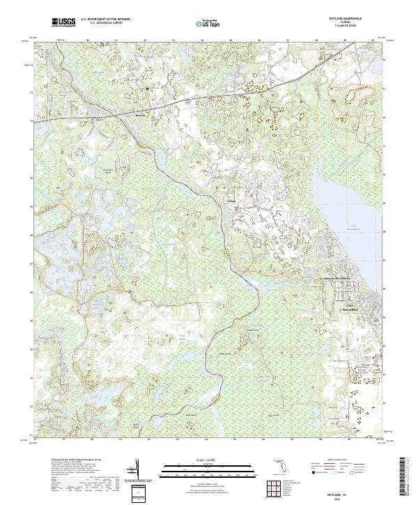
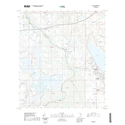
2024 Rutland
Sumter County, FL
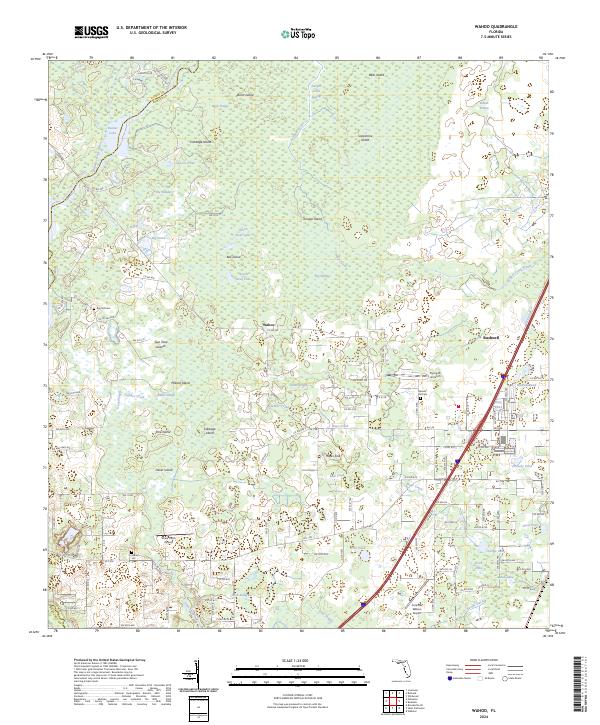
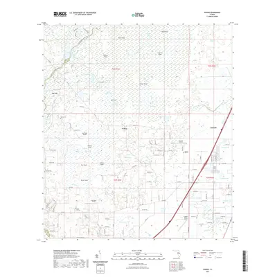
2024 Wahoo
Sumter County, FL