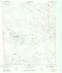
1969 Map of Ozark Lake
USGS Topo · Published 1981About this map
West Sand Hills dominate this West Texas landscape, where the shifting sands and arid terrain are defined by the infrastructure of the Permian Basin's petroleum industry. The map illustrates a sprawling network of energy extraction across the Shipley Oil Field and surrounding areas, marked by numerous Oil Wells, Drill Holes, and a complex web of pipelines. Water management is the other primary human imprint on this landscape, evidenced by a high density of named water sources like Pigman Windmill, Hidden Water Windmill, and Double Wells, which supported both livestock at the Estes Ranch and local industrial operations.
Find a feature on this map
27 named features on this map. Tap any name to fly to it.
Don’t see what you’re looking for? This feature index may not catch every label — zoom into the map to look around manually.
Map Details
Editions of this 1969 Ozark Lake Map
2 editions found
Other maps of this area

1954 · Pecos
USGS Topo · 1:250,000

1957 · Pecos
USGS Topo · 1:250,000

1964 · Penwell SW
USGS Topo · 1:24,000

1968 · Monahans SE
USGS Topo · 1:24,000

1969 · Ozark Lake
USGS Topo · 1:24,000

1969 · Grandfalls
USGS Topo · 1:24,000

1969 · Monahans
USGS Topo · 1:24,000

1969 · 7 L Ranch
USGS Topo · 1:24,000
1974 · Imperial NW
USGS Topo · 1:24,000
1974 · Imperial
USGS Topo · 1:24,000