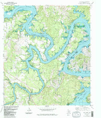
1986 Map of Pace Bend
USGS Topo · Published 1986About this map
Lake Travis dominates this Texas landscape, where the meandering Colorado River carves deep, serpent-like curves through the Hill Country. The topography is defined by prominent peninsulas and points such as Muleshoe Bend, Carpenter Bend, and Post Oak Bend. Human settlement patterns are reflected in the development of Lago Vista and the recreational utilization of the shoreline, notably within Pace Bend Park and the Bergstrom AFB Rec Area.
Find a feature on this map
36 named features on this map. Tap any name to fly to it.
Don’t see what you’re looking for? This feature index may not catch every label — zoom into the map to look around manually.
Map Details
Editions of this 1986 Pace Bend Map
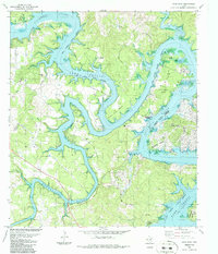
2 editions found
Other maps of this area

1887 · Blanco
USGS Topo · 1:125,000

1887 · Burnet
USGS Topo · 1:125,000

1893 · Georgetown
USGS Topo · 1:125,000

1893 · Burnet
USGS Topo · 1:125,000

1894 · Blanco
USGS Topo · 1:125,000

1896 · Austin
USGS Topo · 1:125,000

1897 · Austin
USGS Topo · 1:125,000

1903 · Burnet
USGS Topo · 1:125,000

1909 · Burnet
USGS Topo · 1:125,000

1910 · Austin
USGS Topo · 1:125,000