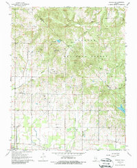
1967 Map of Paducah NE
USGS Topo · Published 1986About this map
Shawnee National Forest encompasses the northern half of this 1967 survey, where the rugged terrain of the Pope and Massac county line is marked by features like Brasher Cave and the waters of Mann Lake. The landscape transitions from these wooded uplands into the agricultural plains of southern Massac County, where the settlement of Brookport sits near the Ohio River. This area is notably dense with family and community landmarks, particularly small rural cemeteries and churches that served the local farming population.
Find a feature on this map
59 named features on this map. Tap any name to fly to it.
Don’t see what you’re looking for? This feature index may not catch every label — zoom into the map to look around manually.
Map Details
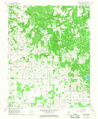
Editions of this 1967 Paducah NE Map
2 editions found
Other maps of this area

1916 · Golconda
USGS Topo · 1:62,500

1917 · Brownfield
USGS Topo · 1:62,500

1920 · Goloonda
USGS Topo · 1:48,000

1921 · Golconda
USGS Topo · 1:62,500

1926 · Paducah
USGS Topo · 1:62,500

1929 · Smithland
USGS Topo · 1:62,500

1929 · Paducah
USGS Topo · 1:62,500

1936 · Paducah
USGS Topo · 1:24,000

1936 · Smithland
USGS Topo · 1:48,000

1936 · Little Cypress
USGS Topo · 1:24,000