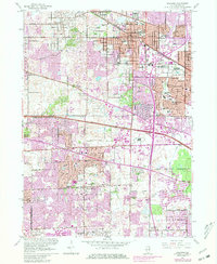
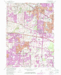
1961 Map of Palatine
USGS Topo · Published 1981About this map
Palatine and surrounding Cook County communities undergo significant suburban transformation in this 1961 survey, updated with 1980 revisions. The landscape is defined by the expansion of residential blocks and major transit corridors like the Northwest Tollway and the Chicago and North Western railroad. Significant landmarks like the Arlington Park Racetrack and the U S Military Reservation reflect the varied land use of the era, while the Ned Brown Preserve maintains an open corridor along Salt Creek. Local genealogy and social history are anchored by numerous neighborhood institutions, including the St Michael Cemetery, Mt Hope Cem, and a dense network of schools such as Township High Sch and Salk Sch. The presence of the Radio Towers (WGN) and various municipal installations like the Sewage Disposal plant highlights the burgeoning infrastructure supporting the rapid growth of Hoffman Estates and Schaumburg.
Find a feature on this map
55 named features on this map. Tap any name to fly to it.
Don’t see what you’re looking for? This feature index may not catch every label — zoom into the map to look around manually.
Map Details
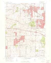
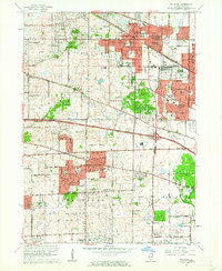
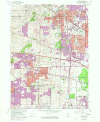
Editions of this 1961 Palatine Map
5 editions found
Other maps of this area

1891 · Riverside
USGS Topo · 1:62,500

1893 · Riverside
USGS Topo · 1:62,500

1900 · Riverside
USGS Topo · 1:62,500

1900 · Highwood
USGS Topo · 1:62,500

1901 · Riverside
USGS Topo · 1:62,500

1908 · Wheaton
USGS Topo · 1:62,500

1923 · Barrington
USGS Topo · 1:62,500

1927 · Arlington Heights
USGS Topo · 1:24,000

1928 · Elmhurst
USGS Topo · 1:24,000

1928 · Wheeling
USGS Topo · 1:24,000