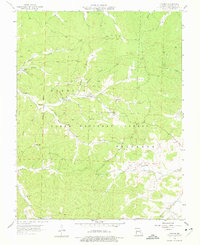
1958 Map of Palmer
USGS Topo · Published 1977About this map
The settlement of Palmer and the surrounding timberlands of the Clark National Forest define this mid-century survey of Washington County. Industrial activity is evident throughout the landscape, marked by numerous mines and tailings ponds concentrated along Town Branch and Ishmael Branch. These sites point to the region's historical reliance on mineral extraction, particularly lead and tiff. Small community centers and family heritage sites are preserved in the mapping of Marler Chapel, Hazel Creek Ch, and several family burial grounds like Sitton Cem and Scott Cem. The terrain is deeply etched by a network of waterways, including Hazel Creek, Brock Creek, and Trace Creek, which eventually feed into the Big River near the village of Peoria. From the Tiff Lookout Tower, one would have surveyed a landscape where rural hamlets like Delbridge and Sunlight were connected by winding roads through the heavily wooded ridges of Harmony.
Find a feature on this map
38 named features on this map. Tap any name to fly to it.
Don’t see what you’re looking for? This feature index may not catch every label — zoom into the map to look around manually.
Map Details
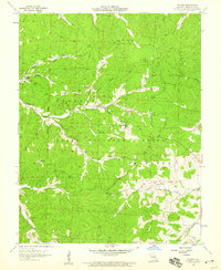
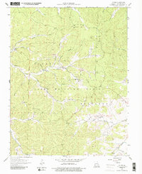
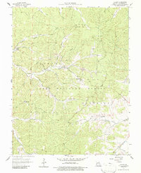
Editions of this 1958 Palmer Map
4 editions found
Other maps of this area

1906 · Potosi
USGS Topo · 1:62,500

1924 · Edgehill
USGS Topo · 1:62,500

1926 · Edgehill
USGS Topo · 1:62,500

1943 · Berryman
USGS Topo · 1:62,500

1943 · Boss
USGS Topo · 1:62,500

1945 · Berryman
USGS Topo · 1:62,500

1946 · Boss
USGS Topo · 1:62,500

1949 · Rolla
USGS Topo · 1:250,000

1953 · Rolla
USGS Topo · 1:250,000

1954 · Rolla
USGS Topo · 1:250,000