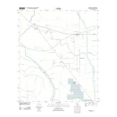
2012 Map of Palmetto
USGS Topo · Published 2012About this map
Bayou Petite Prairie and Bayou Wauksha wind through this corner of St. Landry Parish, defining a landscape of agricultural lowlands and small bayou-side settlements. This early 21st-century record shows the town of Palmetto at the junction of the railroad and local roads, surrounded by rural communities like Lebeau, Waxia, and the Rideau Settlement. The map identifies local landmarks such as the Palmetto Gas Field and family-named burial sites including Goudeau Cem and McBride Cem, which are essential for genealogical research in this part of Louisiana. The drainage patterns of Fish Bayou and Hog Bayou reflect the complex hydrology of the region, while the network of named parish roads like Boudreaux Rd and Doucet Rd provide a clear view of the rural settlement patterns that have persisted for generations.
Find a feature on this map
69 named features on this map. Tap any name to fly to it.
Don’t see what you’re looking for? This feature index may not catch every label — zoom into the map to look around manually.
Map Details
Editions of this 2012 Palmetto Map
This is the sole edition of this map. No revisions or reprints were ever made.
Other maps of this area

1939 · Opelousas
USGS Topo · 1:62,500

1948 · Bunkie
USGS Topo · 1:62,500

1952 · Lake Charles
USGS Topo · 1:250,000

1954 · Lake Charles
USGS Topo · 1:250,000

1954 · Baton Rouge
USGS Topo · 1:250,000

1955 · Odenburg
USGS Topo · 1:62,500

1956 · Opelousas
USGS Topo · 1:62,500

1956 · Baton Rouge
USGS Topo · 1:250,000

1957 · Opelousas
USGS Topo · 1:62,500

1959 · Palmetto
USGS Topo · 1:62,500