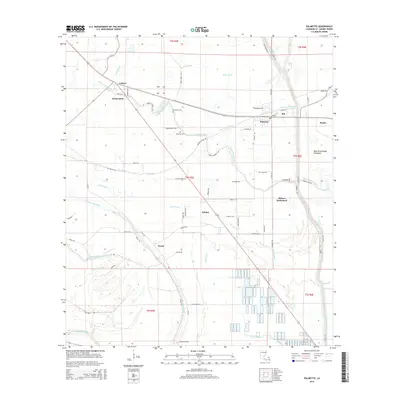
2015 Map of Palmetto
USGS Topo · Published 2015About this map
Palmetto and the surrounding basin of St. Landry Parish are defined by a complex network of waterways that dictate the pattern of human settlement. The landscape is segmented by numerous bayous, including Negro Foot Bayou and Bayou Petite Prairie, which weave around established communities and agricultural lands. This drainage system is part of a larger hydrological environment bordered to the east by the West Atchafalaya Floodway, a critical piece of water management infrastructure.
Find a feature on this map
71 named features on this map. Tap any name to fly to it.
Don’t see what you’re looking for? This feature index may not catch every label — zoom into the map to look around manually.
Map Details
Editions of this 2015 Palmetto Map
This is the sole edition of this map. No revisions or reprints were ever made.
Other maps of this area
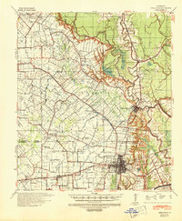
1939 · Opelousas
USGS Topo · 1:62,500
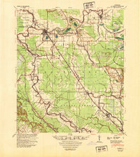
1948 · Bunkie
USGS Topo · 1:62,500

1952 · Lake Charles
USGS Topo · 1:250,000

1954 · Lake Charles
USGS Topo · 1:250,000

1954 · Baton Rouge
USGS Topo · 1:250,000
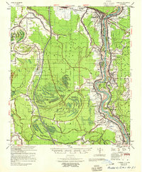
1955 · Odenburg
USGS Topo · 1:62,500
1956 · Opelousas
USGS Topo · 1:62,500
1956 · Baton Rouge
USGS Topo · 1:250,000
1957 · Opelousas
USGS Topo · 1:62,500
1959 · Palmetto
USGS Topo · 1:62,500