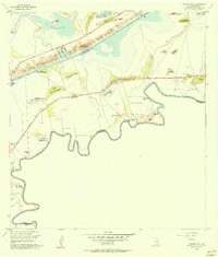
1955 Map of Palmito Hill
USGS Topo · Published 1956About this map
The Palmito Hill Battlefield occupies a prominent bend in the Rio Grande during the mid-1950s, marking the site of the final land engagement of the Civil War. This coastal landscape is defined by its "lomas"—low-lying clay dunes that rise above the surrounding salt flats and tidal marshes. Features such as Loma de la Estrella, Loma de la Jauja, and Loma del Muerto provide the only significant elevation in an otherwise level terrain dominated by the river's meandering bancos.
Find a feature on this map
40 named features on this map. Tap any name to fly to it.
Don’t see what you’re looking for? This feature index may not catch every label — zoom into the map to look around manually.
Map Details
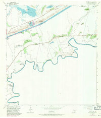
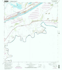
Editions of this 1955 Palmito Hill Map
Other maps of this area

1929 · Palmito Hill
USGS Topo · 1:24,000

1929 · Point Isabel
USGS Topo · 1:24,000

1929 · Laguna Vista
USGS Topo · 1:24,000

1930 · Los Fresnos
USGS Topo · 1:24,000

1930 · East Brownsville
USGS Topo · 1:24,000

1934 · Port Isabel
USGS Topo · 1:31,680

1936 · Los Fresnos
USGS Topo · 1:31,680

1936 · Palmito Hill
USGS Topo · 1:31,680

1936 · Laguna Vista
USGS Topo · 1:31,680
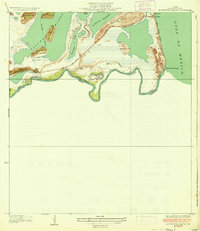
1936 · Mouth Of Rio Grande
USGS Topo · 1:31,680