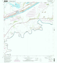
1955 Map of Palmito Hill
USGS Topo · Published 1984About this map
The Palmito Hill Battlefield occupies the center of this coastal landscape, marking the site of the Battle of Palmito Hill (Historical Monument) near the Rio Grande. This mid-century survey, photorevised in the 1980s, reveals a terrain defined by low clay dunes known as lomas, including Loma de la Estrella and Loma del Muerto. The winding river creates several horseshoe-shaped bancos along the international border, such as El Rincon Banco No 126 and San Miguel Banco No 88, documenting the shifting channel between the United States and Mexico.
Find a feature on this map
41 named features on this map. Tap any name to fly to it.
Don’t see what you’re looking for? This feature index may not catch every label — zoom into the map to look around manually.
Map Details
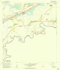
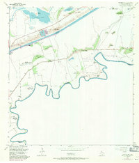
Editions of this 1955 Palmito Hill Map
Other maps of this area

1929 · Palmito Hill
USGS Topo · 1:24,000

1929 · Point Isabel
USGS Topo · 1:24,000

1929 · Laguna Vista
USGS Topo · 1:24,000

1930 · Los Fresnos
USGS Topo · 1:24,000

1930 · East Brownsville
USGS Topo · 1:24,000

1934 · Port Isabel
USGS Topo · 1:31,680

1936 · Los Fresnos
USGS Topo · 1:31,680

1936 · Palmito Hill
USGS Topo · 1:31,680

1936 · Laguna Vista
USGS Topo · 1:31,680
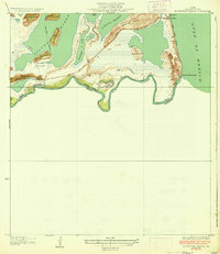
1936 · Mouth Of Rio Grande
USGS Topo · 1:31,680