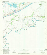
1955 Map of Palmito Hill
USGS Topo · Published 1971About this map
The Palmito Hill Battlefield dominates this coastal landscape along the winding Rio Grande, marking the site of the final land action of the American Civil War. The map details the historical significance of the area with a Battle of Palmito Hill (Historical Monument) and several former settlement sites like Old Palmito Ranch and the Old Tulosa Ranch Site. These locations sit amidst a terrain defined by various lomas, or small elevations, including Loma del Muerto and Loma de la Jauja, which provided tactical advantages in the flat river delta.
Find a feature on this map
42 named features on this map. Tap any name to fly to it.
Don’t see what you’re looking for? This feature index may not catch every label — zoom into the map to look around manually.
Map Details
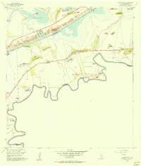
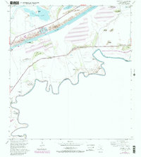
Editions of this 1955 Palmito Hill Map
Other maps of this area

1929 · Palmito Hill
USGS Topo · 1:24,000

1929 · Point Isabel
USGS Topo · 1:24,000

1929 · Laguna Vista
USGS Topo · 1:24,000

1930 · Los Fresnos
USGS Topo · 1:24,000

1930 · East Brownsville
USGS Topo · 1:24,000

1934 · Port Isabel
USGS Topo · 1:31,680

1936 · Los Fresnos
USGS Topo · 1:31,680

1936 · Palmito Hill
USGS Topo · 1:31,680

1936 · Laguna Vista
USGS Topo · 1:31,680
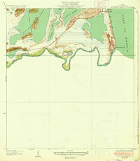
1936 · Mouth Of Rio Grande
USGS Topo · 1:31,680