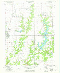
1998 Map of Palmyra
USGS Topo · Published 2002About this map
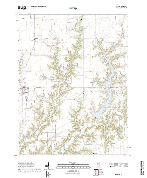
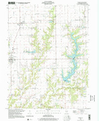
Palmyra and Modesto anchor this Macoupin County landscape at the turn of the 21st century, a region characterized by its transition from prairie farmland to a more complex water-management and recreation-focused geography. The massive Otter Lake dominates the eastern half of the map, serving as a critical water source with its Intake and Waterworks facilities while offering recreational infrastructure like the Boat Ramp and Roadside Park. The landscape is crisscrossed by a network of creeks including Otter Creek and Nassa Creek, which drain the surrounding agricultural fields.
Find a feature on this map
44 named features on this map. Tap any name to fly to it.
Don’t see what you’re looking for? This feature index may not catch every label — zoom into the map to look around manually.
Map Details
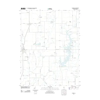
Editions of this 1998 Palmyra Map
This is the sole edition of this map. No revisions or reprints were ever made.
Historical Maps of Palmyra Through Time
7 maps found