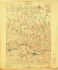
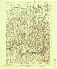
1902 Map of Palmyra
USGS Topo · Published 1906About this map
The industrial and agricultural geography of Wayne County comes into focus in this late 19th-century survey, defined by the parallel paths of the Erie Canal and several major rail lines. The landscape is characterized by a striking pattern of elongated north-south hills, including Mormon Hill in the southwest and Baker Hill near Minsteed. These drumlins dictate the flow of local waters like Sodus Creek and Fly Creek as they move toward the lake.
Find a feature on this map
46 named features on this map. Tap any name to fly to it.
Don’t see what you’re looking for? This feature index may not catch every label — zoom into the map to look around manually.
Map Details
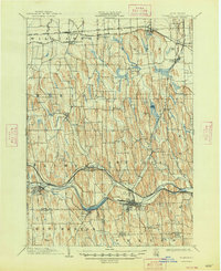
Editions of this 1902 Palmyra Map
7 editions found
Other maps of this area

1899 · Palmyra
USGS Topo · 1:62,500

1900 · Macedon
USGS Topo · 1:62,500

1900 · Canandaigua
USGS Topo · 1:62,500

1902 · Sodus Bay
USGS Topo · 1:62,500

1902 · Pultneyville
USGS Topo · 1:62,500

1902 · Geneva
USGS Topo · 1:62,500

1902 · Clyde
USGS Topo · 1:62,500

1902 · Phelps
USGS Topo · 1:62,500

1902 · Palmyra
USGS Topo · 1:62,500

1903 · Canandaigua
USGS Topo · 1:62,500