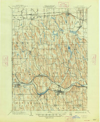
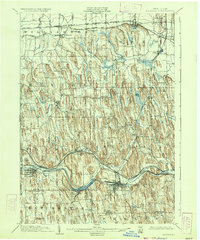
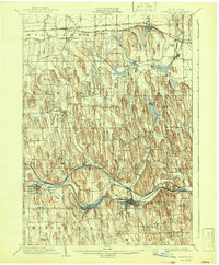
1902 Map of Palmyra
USGS Topo · Published 1948About this map
Palmyra and Newark anchor this late 19th-century landscape, where the Barge Canal and the New York Central and Hudson River R. R. create a dense corridor of commerce across Wayne County. The survey captures the region just before the turn of the century, illustrating a transition from traditional water-based transport to a complex network of steel. In the north, the Sodus Bay Electric R. R. and the Rome Watertown and Ogdensburg Division link rural settlements like Wallington and Sodus Center to broader markets.
Find a feature on this map
44 named features on this map. Tap any name to fly to it.
Don’t see what you’re looking for? This feature index may not catch every label — zoom into the map to look around manually.
Map Details
Editions of this 1902 Palmyra Map
7 editions found
Other maps of this area

1899 · Palmyra
USGS Topo · 1:62,500

1900 · Macedon
USGS Topo · 1:62,500

1900 · Canandaigua
USGS Topo · 1:62,500

1902 · Sodus Bay
USGS Topo · 1:62,500

1902 · Pultneyville
USGS Topo · 1:62,500

1902 · Geneva
USGS Topo · 1:62,500

1902 · Clyde
USGS Topo · 1:62,500

1902 · Phelps
USGS Topo · 1:62,500

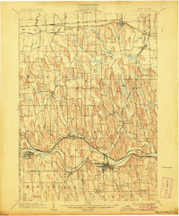
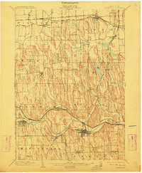
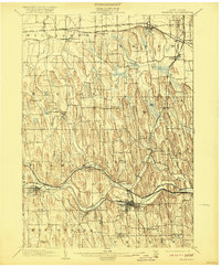
1902 · Palmyra
USGS Topo · 1:62,500

1903 · Canandaigua
USGS Topo · 1:62,500