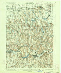
1902 Map of Palmyra
USGS Topo · Published 1934About this map
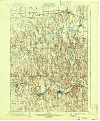
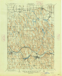
Glacial drumlins dominate this central New York landscape, creating a distinct north-south corrugated topography between Sodus Bay and the village of Palmyra. The region is a hub of early 20th-century transportation, featuring the Barge Canal cutting through the southern townships of Palmyra and Arcadia. This watery thoroughfare runs parallel to several major rail lines, including the New York Central and Hudson River R. R. and the West Shore R. R., which facilitated the movement of goods and people through settlements like Newark and East Palmyra.
Find a feature on this map
46 named features on this map. Tap any name to fly to it.
Don’t see what you’re looking for? This feature index may not catch every label — zoom into the map to look around manually.
Map Details
Editions of this 1902 Palmyra Map
7 editions found
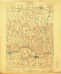
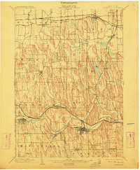
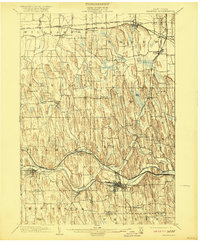
Other maps of this area

1899 · Palmyra
USGS Topo · 1:62,500

1900 · Macedon
USGS Topo · 1:62,500

1900 · Canandaigua
USGS Topo · 1:62,500

1902 · Sodus Bay
USGS Topo · 1:62,500

1902 · Pultneyville
USGS Topo · 1:62,500

1902 · Geneva
USGS Topo · 1:62,500

1902 · Clyde
USGS Topo · 1:62,500

1902 · Phelps
USGS Topo · 1:62,500

1902 · Palmyra
USGS Topo · 1:62,500

1903 · Canandaigua
USGS Topo · 1:62,500