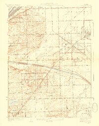
1928 Map of Palos Park
USGS Topo · Published 1928About this map
The Calumet Sag Channel and the Chicago Sanitary and Ship Canal dominate the hydrological landscape of this region southwest of Chicago. This 1928 edition illustrates a transition toward recreational and suburban development, evidenced by several specialized sites like the Kiwanis Scout Camp and the Ski and Toboggan Slide near Swallow Cliff. Large-scale institutional and social landmarks are prominent, including Holy Sepulchre Cemetery and several expansive country clubs like Southmoor Country Club and Oak Hill Golf Club.
Find a feature on this map
65 named features on this map. Tap any name to fly to it.
Don’t see what you’re looking for? This feature index may not catch every label — zoom into the map to look around manually.
Map Details
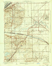
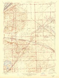
Editions of this 1928 Palos Park Map
4 editions found

Other maps of this area

1889 · Chicago
USGS Topo · 1:62,500

1890 · Des Plaines
USGS Topo · 1:62,500

1891 · Chicago
USGS Topo · 1:62,500

1891 · Riverside
USGS Topo · 1:62,500

1892 · Calumet
USGS Topo · 1:62,500

1893 · Calumet
USGS Topo · 1:62,500

1893 · Riverside
USGS Topo · 1:62,500

1894 · Des Plaines
USGS Topo · 1:62,500

1900 · Chicago
USGS Topo · 1:62,500

1900 · Des Plaines
USGS Topo · 1:62,500