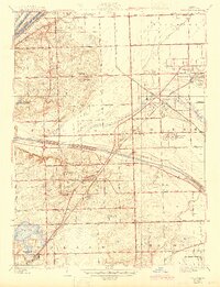
1928 Map of Palos Park
USGS Topo · Published 1945About this map
Palos Park and its surrounding townships represent a critical junction of water and rail infrastructure southwest of Chicago just after the Second World War. The landscape is defined by the massive engineering of the Chicago Sanitary and Ship Canal and the Calumet Sag Channel, which cut through the terrain alongside the older Desplaines River. This drainage network provided the industrial backbone for growing residential hubs like Oak Lawn and Worth.
Find a feature on this map
58 named features on this map. Tap any name to fly to it.
Don’t see what you’re looking for? This feature index may not catch every label — zoom into the map to look around manually.
Map Details
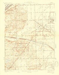
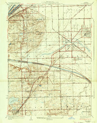
Editions of this 1928 Palos Park Map
4 editions found

Other maps of this area

1889 · Chicago
USGS Topo · 1:62,500

1890 · Des Plaines
USGS Topo · 1:62,500

1891 · Chicago
USGS Topo · 1:62,500

1891 · Riverside
USGS Topo · 1:62,500

1892 · Calumet
USGS Topo · 1:62,500

1893 · Calumet
USGS Topo · 1:62,500

1893 · Riverside
USGS Topo · 1:62,500

1894 · Des Plaines
USGS Topo · 1:62,500

1900 · Chicago
USGS Topo · 1:62,500

1900 · Des Plaines
USGS Topo · 1:62,500