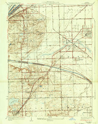
1928 Map of Palos Park
USGS Topo · Published 1933About this map
The Calumet Sag Channel and the Chicago Sanitary and Ship Canal dominate the hydrology of this Cook County landscape, carving through the terrain near Spring Forest. These industrial waterways run parallel to older infrastructure like the Illinois and Michigan Canal, illustrating a dense corridor of 1920s transport and drainage engineering. To the east and south, the grid of suburban development begins to take shape in Oak Lawn and Chicago Ridge, while the more wooded, varied topography around Palos Park remains punctuated by leisure and institutional sites. The map reveals a high concentration of regional landmarks, from the Resurrection Cemetery in the north to the Midlothian Country Club at the southern edge, alongside scattered rural education centers like McCord School and Palos School No 117.
Find a feature on this map
75 named features on this map. Tap any name to fly to it.
Don’t see what you’re looking for? This feature index may not catch every label — zoom into the map to look around manually.
Map Details
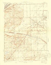
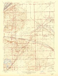
Editions of this 1928 Palos Park Map
4 editions found

Other maps of this area

1889 · Chicago
USGS Topo · 1:62,500

1890 · Des Plaines
USGS Topo · 1:62,500

1891 · Chicago
USGS Topo · 1:62,500

1891 · Riverside
USGS Topo · 1:62,500

1892 · Calumet
USGS Topo · 1:62,500

1893 · Calumet
USGS Topo · 1:62,500

1893 · Riverside
USGS Topo · 1:62,500

1894 · Des Plaines
USGS Topo · 1:62,500

1900 · Chicago
USGS Topo · 1:62,500

1900 · Des Plaines
USGS Topo · 1:62,500