
1928 Map of Palos Park
USGS Topo · Published 1928About this map
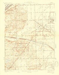
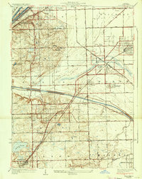
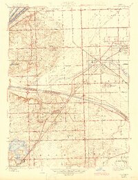
The intersection of massive infrastructure and emerging suburban leisure defines this Cook County landscape in the late 1920s. The northern edge is dominated by the industrial corridor of the Chicago Sanitary and Ship Canal and the Illinois and Michigan Canal, while the Calumet Sag Channel cuts a bold line through the center of the sheet near Worth. This era shows the region as a mosaic of institutional and recreational spaces, from the large Lithuanian Cemetery and Resurrection Cemetery to the numerous social grounds like the Black Bear Golf Club and St Leo's Boys Camp.
Find a feature on this map
60 named features on this map. Tap any name to fly to it.
Don’t see what you’re looking for? This feature index may not catch every label — zoom into the map to look around manually.
Map Details
Editions of this 1928 Palos Park Map
4 editions found
Other maps of this area

1889 · Chicago
USGS Topo · 1:62,500

1890 · Des Plaines
USGS Topo · 1:62,500

1891 · Chicago
USGS Topo · 1:62,500

1891 · Riverside
USGS Topo · 1:62,500

1892 · Calumet
USGS Topo · 1:62,500

1893 · Calumet
USGS Topo · 1:62,500

1893 · Riverside
USGS Topo · 1:62,500

1894 · Des Plaines
USGS Topo · 1:62,500

1900 · Chicago
USGS Topo · 1:62,500

1900 · Des Plaines
USGS Topo · 1:62,500