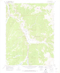
1970 Map of Pando
USGS Topo · Published 1973About this map
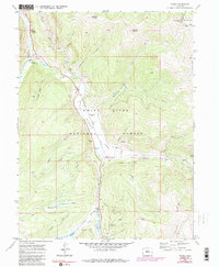
Camp Hale (Site) occupies the valley floor of the Eagle River in this 1970 snapshot, marking a high-altitude military training legacy in the Colorado Rockies. The Denver and Rio Grande Western Railroad follows the river's path, serving as the primary corridor through the high-country terrain between Hornsilver Mountain and Chicago Ridge. This period of the landscape reflects a shift toward recreation and historical preservation, with Hornsilver Campground and Blodgett Campground established near the old mining settlements of Pando and Mitchell. The presence of hydraulic engineering is evident in the Wurts Ditch, while the surrounding mountainsides remain dotted with industrial remnants like the El Capitan Mine and various unnamed Mines. The map captures the rugged character of the White River National Forest and Arapaho National Forest as they appeared before modern development further altered the valley.
Find a feature on this map
42 named features on this map. Tap any name to fly to it.
Don’t see what you’re looking for? This feature index may not catch every label — zoom into the map to look around manually.
Map Details
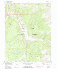
Editions of this 1970 Pando Map
6 editions found
Other maps of this area

1889 · Leadville
USGS Topo · 1:125,000

1891 · Leadville
USGS Topo · 1:125,000

1929 · Dillon
USGS Topo · 1:62,500

1934 · Climax
USGS Topo · 1:48,000

1934 · Minturn
USGS Topo · 1:62,500

1934 · Dillon
USGS Topo · 1:62,500

1938 · Mt. Lincoln
USGS Topo · 1:48,000

1942 · Leadville
USGS Topo · 1:125,000

1945 · Mount Lincoln
USGS Topo · 1:62,500

1949 · Holy Cross
USGS Topo · 1:62,500