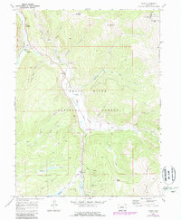
1970 Map of Pando
USGS Topo · Published 1988About this map
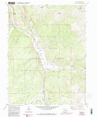
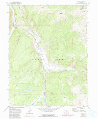
Camp Hale occupies the center of this high-altitude landscape, marked by its legacy as a World War II training site in the Colorado Rockies. The settlement of Pando sits along the Eagle River, serving as a key point of reference for the valley's transport history. An Old Railroad Grade and the Colorado Trail trace the movements of past laborers and travelers through the steep terrain between Hornsilver Mountain and Ptarmigan Hill. The map highlights a complex water management and extraction history, shown through the Wurts Ditch and various prospects, alongside the El Capitan Mine near Taylor Hill. These features reveal the mid-century transition from active mining and military operations to a landscape preserved within the White River National Forest and the Holy Cross Wilderness.
Find a feature on this map
39 named features on this map. Tap any name to fly to it.
Don’t see what you’re looking for? This feature index may not catch every label — zoom into the map to look around manually.
Map Details
Editions of this 1970 Pando Map
6 editions found
Other maps of this area

1889 · Leadville
USGS Topo · 1:125,000

1891 · Leadville
USGS Topo · 1:125,000

1929 · Dillon
USGS Topo · 1:62,500

1934 · Climax
USGS Topo · 1:48,000

1934 · Minturn
USGS Topo · 1:62,500

1934 · Dillon
USGS Topo · 1:62,500

1938 · Mt. Lincoln
USGS Topo · 1:48,000

1942 · Leadville
USGS Topo · 1:125,000

1945 · Mount Lincoln
USGS Topo · 1:62,500

1949 · Holy Cross
USGS Topo · 1:62,500