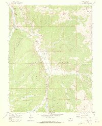
1970 Map of Pando
USGS Topo · Published 1973About this map
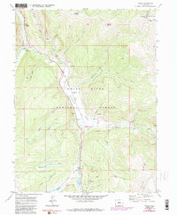
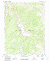
Camp Hale (Site) occupies the valley floor of the Eagle River, serving as a silent reminder of the high-altitude training grounds established for the 10th Mountain Division during World War II. By 1970, the physical structures of the camp had largely been cleared, leaving behind the expansive flats where the Denver and Rio Grande Western Railroad tracks flank the river. The small settlements of Pando and Mitchell provide key reference points for researchers of this alpine corridor. The surrounding landscape of the White River National Forest is defined by complex water management and resource extraction. Significant hydrological features like the Wurts Ditch and Mitchell Ditch cut across the contours of Bennett Ridge, while evidence of the area's mining history persists at the El Capitan Mine and various prospects near Resolution Creek. To the east, the boundary between Eagle and Summit Counties follows the high terrain of Chicago Ridge.
Find a feature on this map
41 named features on this map. Tap any name to fly to it.
Don’t see what you’re looking for? This feature index may not catch every label — zoom into the map to look around manually.
Map Details
Editions of this 1970 Pando Map
6 editions found
Other maps of this area

1889 · Leadville
USGS Topo · 1:125,000

1891 · Leadville
USGS Topo · 1:125,000

1929 · Dillon
USGS Topo · 1:62,500

1934 · Climax
USGS Topo · 1:48,000

1934 · Minturn
USGS Topo · 1:62,500

1934 · Dillon
USGS Topo · 1:62,500

1938 · Mt. Lincoln
USGS Topo · 1:48,000

1942 · Leadville
USGS Topo · 1:125,000

1945 · Mount Lincoln
USGS Topo · 1:62,500

1949 · Holy Cross
USGS Topo · 1:62,500