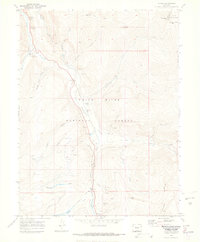
1970 Map of Pando
USGS Topo · Published 1973About this map
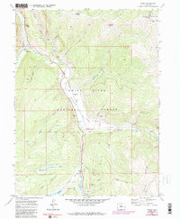
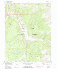
Camp Hale occupies the center of this mountain landscape, marking the footprint of the high-altitude training grounds for the 10th Mountain Division. Situated along the Eagle River, the map shows the transition from military history to recreational and industrial use in the early 1970s. The Denver and Rio Grande Western Railroad snakes along the river valley, connecting the settlement of Pando to Mitchell in the south. High peaks and passes, including Hornsilver Mountain and Ptarmigan Pass, define the surrounding terrain of the White River National Forest and Arapaho National Forest. Evidence of resource extraction and infrastructure remains visible through the El Capitan Mine, several Gravel Pits, and the Pipeline crossing the northern slopes. Water management is notably detailed, featuring the Wurts Ditch and Rule Gulch, which divert flows across the complex topography of the Continental Divide.
Find a feature on this map
42 named features on this map. Tap any name to fly to it.
Don’t see what you’re looking for? This feature index may not catch every label — zoom into the map to look around manually.
Map Details
Editions of this 1970 Pando Map
6 editions found
Other maps of this area

1889 · Leadville
USGS Topo · 1:125,000

1891 · Leadville
USGS Topo · 1:125,000

1929 · Dillon
USGS Topo · 1:62,500

1934 · Climax
USGS Topo · 1:48,000

1934 · Minturn
USGS Topo · 1:62,500

1934 · Dillon
USGS Topo · 1:62,500

1938 · Mt. Lincoln
USGS Topo · 1:48,000

1942 · Leadville
USGS Topo · 1:125,000

1945 · Mount Lincoln
USGS Topo · 1:62,500

1949 · Holy Cross
USGS Topo · 1:62,500