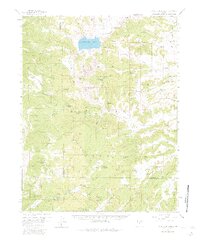
1958 Map of Panguitch Lake
USGS Topo · Published 1983About this map
Panguitch Lake sits at the heart of this high-altitude landscape within the Dixie National Forest, serving as a central hydrological landmark for the surrounding terrain. Recorded in the late 1950s, the map illustrates a remote environment defined by survey markers and land use points like the Ranger Station Forest Camp and the Gaging Sta. The distribution of natural features such as Prince Mountain and the expansive Blue Spring Valley suggests a region utilized for its natural resources and seasonal access.
Find a feature on this map
20 named features on this map. Tap any name to fly to it.
Don’t see what you’re looking for? This feature index may not catch every label — zoom into the map to look around manually.
Map Details
Editions of this 1958 Panguitch Lake Map
3 editions found
Other maps of this area

1886 · Kanab
USGS Topo · 1:250,000

1953 · Cedar City
USGS Topo · 1:250,000

1957 · Orderville Canyon NE
USGS Topo · 1:24,000

1958 · Cedar City
USGS Topo · 1:250,000

1958 · Orderville
USGS Topo · 1:62,500

1958 · Cedar Breaks
USGS Topo · 1:62,500

1958 · Panguitch Lake
USGS Topo · 1:62,500

1962 · Cedar City
USGS Topo · 1:250,000

1966 · Alton
USGS Topo · 1:24,000

1966 · Hatch
USGS Topo · 1:24,000
Featured Places
- Panguitch Lake Resort, UT
- Lake View Resort, UT
- Duck Creek Village, UT
- Iron County, UT
- Garfield County, UT