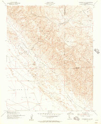
1954 Map of Panorama Hills
USGS Topo · Published 1970About this map
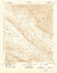
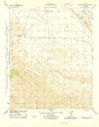
The Temblor Range dominates this mid-century survey, dividing the high-relief mountain terrain from the broad, flat expanses of the Carrizo Plain. Straddling the county line between San Luis Obispo and Kern counties, the map documents a landscape defined by the prominent Elkhorn Scarp, a geologic feature that separates the Elkhorn Plain from the lower valley floor. This 1954 revision reveals the early industrial footprint in this remote region, noting several abandoned oil wells and scattered water tanks.
Find a feature on this map
17 named features on this map. Tap any name to fly to it.
Don’t see what you’re looking for? This feature index may not catch every label — zoom into the map to look around manually.
Map Details
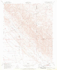
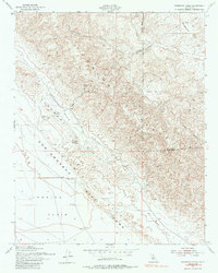
Editions of this 1954 Panorama Hills Map
3 editions found
Other maps of this area

1912 · McKittrick
USGS Topo · 1:125,000

1932 · West Elk Hills
USGS Topo · 1:31,680

1941 · Caliente Mountain
USGS Topo · 1:62,500

1942 · Caliente Mtn
USGS Topo · 1:62,500

1943 · Simmler
USGS Topo · 1:62,500

1943 · Caliente Mtn.
USGS Topo · 1:62,500

1944 · Panorama Hills
USGS Topo · 1:31,680
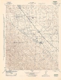
1944 · Fellows
USGS Topo · 1:31,680
1944 · Elkhorn Hills
USGS Topo · 1:31,680
1944 · Midway Peak SW
USGS Topo · 1:31,680