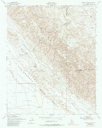
1954 Map of Panorama Hills
USGS Topo · Published 1986About this map
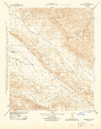
The San Andreas Fault Zone slices across this portion of the California landscape, creating a distinct rift zone that separates the Elkhorn Plain from the Carrizo Plain. This mid-century survey, based on aerial photography from the 1940s and 1950s, reveals the geologically active character of the area, where the rising peaks of the Temblor Range overlook complex drainage patterns like Crocker Canyon and Telephone Creek. While the terrain appears largely unsettled, the inclusion of an Oil Well (Aband) and various Wells (Aband) points to earlier industrial exploration within the desert basins. The boundary between San Luis Obispo Co and Kern Co runs through the high country, crossing through Crocker Flat and near the high vantage of Panorama Point. This map provides a clear view of the structural landforms and dry washes that define this unique corner of the state.
Find a feature on this map
14 named features on this map. Tap any name to fly to it.
Don’t see what you’re looking for? This feature index may not catch every label — zoom into the map to look around manually.
Map Details
Editions of this 1954 Panorama Hills Map
3 editions found
Other maps of this area

1912 · McKittrick
USGS Topo · 1:125,000

1932 · West Elk Hills
USGS Topo · 1:31,680

1941 · Caliente Mountain
USGS Topo · 1:62,500

1942 · Caliente Mtn
USGS Topo · 1:62,500

1943 · Simmler
USGS Topo · 1:62,500

1943 · Caliente Mtn.
USGS Topo · 1:62,500

1944 · Panorama Hills
USGS Topo · 1:31,680
1944 · Fellows
USGS Topo · 1:31,680
1944 · Elkhorn Hills
USGS Topo · 1:31,680
1944 · Midway Peak SW
USGS Topo · 1:31,680