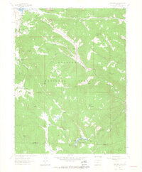
1962 Map of Panorama Peak
USGS Topo · Published 1964About this map
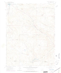
Estes Park and its surrounding mountain landscape are shown in detail during the early 1960s, a period marked by the prominent presence of Lake Estes and the sprawling Roosevelt National Forest. The map documents a blend of recreation and local industry, from the residential development of Stanley Park to the working landscape of Crocker Ranch and Meadowdale Ranch. The terrain is defined by the drainage systems of the Big Thompson River and its various forks, which carved deep features like Muggins Gulch and Hell Canyon.
Find a feature on this map
47 named features on this map. Tap any name to fly to it.
Don’t see what you’re looking for? This feature index may not catch every label — zoom into the map to look around manually.
Map Details
Editions of this 1962 Panorama Peak Map
7 editions found
Other maps of this area

1902 · Boulder
USGS Topo · 1:62,500

1904 · Boulder
USGS Topo · 1:62,500

1905 · Mount Olympus
USGS Topo · 1:62,500

1907 · Mount Olympus
USGS Topo · 1:62,500

1915 · Longs Peak
USGS Topo · 1:125,000

1919 · Rocky Mountain National Park
USGS Topo · 1:125,000

1954 · Greeley
USGS Topo · 1:250,000

1957 · Greeley
USGS Topo · 1:250,000

1957 · Allens Park
USGS Topo · 1:24,000
1957 · Raymond
USGS Topo · 1:24,000