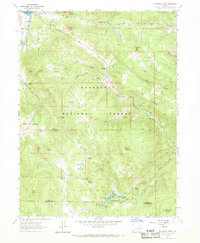
1962 Map of Panorama Peak
USGS Topo · Published 1970About this map
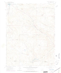
Estes Park serves as the gateway to this high-altitude landscape where the Roosevelt National Forest dominates the terrain. The 1962 survey illustrates a transition from the developing edges of the town near Lake Estes to the remote, unnamed trails and jeep tracks that crisscross the backcountry. The map documents established homesteads and ranching sites, such as Crocker Ranch and Meadowdale Ranch, situated alongside natural landmarks like Mount Olympus and Panorama Peak.
Find a feature on this map
52 named features on this map. Tap any name to fly to it.
Don’t see what you’re looking for? This feature index may not catch every label — zoom into the map to look around manually.
Map Details
Editions of this 1962 Panorama Peak Map
7 editions found
Other maps of this area

1902 · Boulder
USGS Topo · 1:62,500

1904 · Boulder
USGS Topo · 1:62,500

1905 · Mount Olympus
USGS Topo · 1:62,500

1907 · Mount Olympus
USGS Topo · 1:62,500

1915 · Longs Peak
USGS Topo · 1:125,000

1919 · Rocky Mountain National Park
USGS Topo · 1:125,000

1954 · Greeley
USGS Topo · 1:250,000

1957 · Greeley
USGS Topo · 1:250,000

1957 · Allens Park
USGS Topo · 1:24,000
1957 · Raymond
USGS Topo · 1:24,000