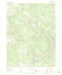
1962 Map of Panorama Peak
USGS Topo · Published 1964About this map
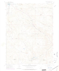
Estes Park sits at the edge of this high-elevation landscape, where the waters of Lake Estes meet the rugged slopes of the Roosevelt National Forest. The map documents a period when private holdings like Crocker Ranch and Meadowdale Ranch operated alongside federal lands, illustrating the complex land-use patterns of the Colorado Front Range in the early 1960s. Terrain is defined by prominent summits such as Mount Olympus and Panorama Peak, with the eastern slopes dropping into the Little Thompson River drainage.
Find a feature on this map
41 named features on this map. Tap any name to fly to it.
Don’t see what you’re looking for? This feature index may not catch every label — zoom into the map to look around manually.
Map Details
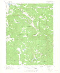
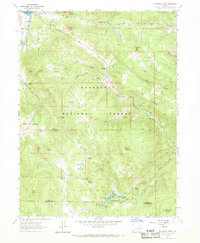
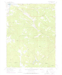
Editions of this 1962 Panorama Peak Map
7 editions found
Other maps of this area

1902 · Boulder
USGS Topo · 1:62,500

1904 · Boulder
USGS Topo · 1:62,500

1905 · Mount Olympus
USGS Topo · 1:62,500

1907 · Mount Olympus
USGS Topo · 1:62,500

1915 · Longs Peak
USGS Topo · 1:125,000

1919 · Rocky Mountain National Park
USGS Topo · 1:125,000

1954 · Greeley
USGS Topo · 1:250,000

1957 · Greeley
USGS Topo · 1:250,000

1957 · Allens Park
USGS Topo · 1:24,000
1957 · Raymond
USGS Topo · 1:24,000