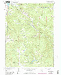
1962 Map of Panorama Peak
USGS Topo · Published 1991About this map
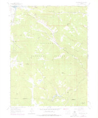
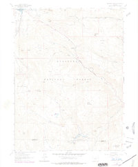
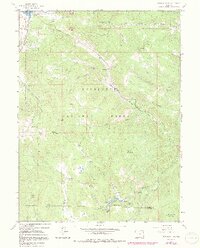
Estes Park and its surrounding mountain peaks define the northwestern corner of this landscape during the early 1960s. The map illustrates a high-altitude terrain dominated by the Roosevelt National Forest, where steep gulches like Lion Gulch and Hell Canyon carve through the granite ridges. Evidence of mid-century ranching and recreation is visible at Crocker Ranch and Meadowdale Ranch, while the recently developed Lake Estes and Stanley Park indicate the area's growing role as a gateway to the high country.
Find a feature on this map
48 named features on this map. Tap any name to fly to it.
Don’t see what you’re looking for? This feature index may not catch every label — zoom into the map to look around manually.
Map Details
Editions of this 1962 Panorama Peak Map
7 editions found
Other maps of this area

1902 · Boulder
USGS Topo · 1:62,500

1904 · Boulder
USGS Topo · 1:62,500

1905 · Mount Olympus
USGS Topo · 1:62,500

1907 · Mount Olympus
USGS Topo · 1:62,500

1915 · Longs Peak
USGS Topo · 1:125,000

1919 · Rocky Mountain National Park
USGS Topo · 1:125,000

1954 · Greeley
USGS Topo · 1:250,000

1957 · Greeley
USGS Topo · 1:250,000

1957 · Allens Park
USGS Topo · 1:24,000
1957 · Raymond
USGS Topo · 1:24,000