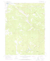
1962 Map of Panorama Peak
USGS Topo · Published 1978About this map
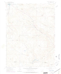
Estes Park sits at the northwest corner of this study, marking a landscape defined by the drainage systems of the Little Thompson River and Big Elk Meadows. Located within the Roosevelt National Forest, the area transitions from established ranching properties like Crocker Ranch and Meadowdale Ranch to high-elevation landmarks such as Mount Olympus and Mount Pisgah. The map illustrates the complex hydrography of the region, where Muggins Gulch, Big Gulch, and Grizzly Gulch carve through the terrain toward the river. Local infrastructure is noted by a Gravel Pit and a Panorama Lookout, while recreation and land use are evidenced by named clearings like Hermit Park and Pierson Park. The boundary between Larimer Co and Boulder Co runs through the southern reaches, crossing near Button Rock Mountain and the West Fork of the river.
Find a feature on this map
48 named features on this map. Tap any name to fly to it.
Don’t see what you’re looking for? This feature index may not catch every label — zoom into the map to look around manually.
Map Details
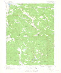
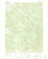
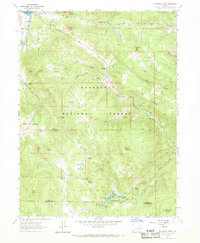
Editions of this 1962 Panorama Peak Map
7 editions found
Other maps of this area

1902 · Boulder
USGS Topo · 1:62,500

1904 · Boulder
USGS Topo · 1:62,500

1905 · Mount Olympus
USGS Topo · 1:62,500

1907 · Mount Olympus
USGS Topo · 1:62,500

1915 · Longs Peak
USGS Topo · 1:125,000

1919 · Rocky Mountain National Park
USGS Topo · 1:125,000

1954 · Greeley
USGS Topo · 1:250,000

1957 · Greeley
USGS Topo · 1:250,000

1957 · Allens Park
USGS Topo · 1:24,000
1957 · Raymond
USGS Topo · 1:24,000