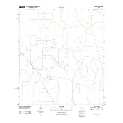
2010 Map of Papalote
USGS Topo · Published 2010About this map
The settlement of Papalote sits as a central node in this South Texas landscape, where the coastal plains are defined by an intricate network of drainage systems. The Aransas River winds through the eastern portion of the quadrangle, joined by numerous tributaries including Papalote Creek, Silver Creek, and Boggy Creek. This hydrologic pattern reveals the natural corridors that influenced early ranching and transport in Bee County, contrasting with the structured grid of rural roads like Baker Rd and Papalote Ranch Rd that service the surrounding area.
Find a feature on this map
21 named features on this map. Tap any name to fly to it.
Don’t see what you’re looking for? This feature index may not catch every label — zoom into the map to look around manually.
Map Details
Editions of this 2010 Papalote Map
This is the sole edition of this map. No revisions or reprints were ever made.
Other maps of this area

1953 · Beeville
USGS Topo · 1:250,000

1954 · Skidmore
USGS Topo · 1:62,500

1954 · Woodsboro
USGS Topo · 1:62,500

1954 · Sinton
USGS Topo · 1:62,500

1954 · Refugio
USGS Topo · 1:62,500

1956 · Beeville
USGS Topo · 1:250,000

1960 · Beeville
USGS Topo · 1:250,000

1978 · Cranell
USGS Topo · 1:24,000

1978 · Refugio SW
USGS Topo · 1:24,000

1979 · Burkes Ridge
USGS Topo · 1:24,000