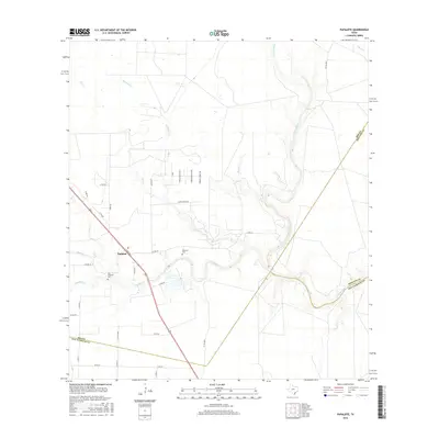
2016 Map of Papalote
USGS Topo · Published 2016About this map
Aransas River defines the landscape as it winds through the coastal plains of South Texas, creating a complex drainage network at the intersection of Bee, San Patricio, and Refugio counties. The settlement of Papalote sits on high ground above the confluence of Papalote Cr and Ratta Cr, serving as a central point for the surrounding ranching and agricultural operations. The local geography is heavily marked by riparian corridors including Silver Cr, Bullhead Cr, and Boggy Cr, which carve through the undulating terrain.
Find a feature on this map
38 named features on this map. Tap any name to fly to it.
Don’t see what you’re looking for? This feature index may not catch every label — zoom into the map to look around manually.
Map Details
Editions of this 2016 Papalote Map
This is the sole edition of this map. No revisions or reprints were ever made.
Other maps of this area

1953 · Beeville
USGS Topo · 1:250,000

1954 · Skidmore
USGS Topo · 1:62,500

1954 · Woodsboro
USGS Topo · 1:62,500

1954 · Sinton
USGS Topo · 1:62,500

1954 · Refugio
USGS Topo · 1:62,500

1956 · Beeville
USGS Topo · 1:250,000

1960 · Beeville
USGS Topo · 1:250,000

1978 · Cranell
USGS Topo · 1:24,000

1978 · Refugio SW
USGS Topo · 1:24,000

1979 · Burkes Ridge
USGS Topo · 1:24,000