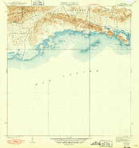
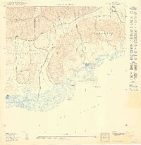
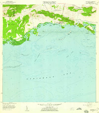
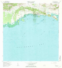
1938 Map of Parguera
USGS Topo · Published 1949About this map
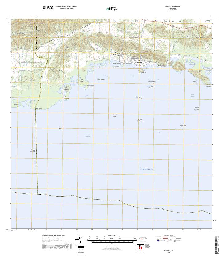
Sierra Bermeja rises sharply above the coastal plains in this pre-war survey of southwestern Puerto Rico, where the hills meet the turquoise waters of the Mar Caribe. The settlement of Parguera is shown as a small cluster along the shoreline, serving as a gateway to the intricate network of mangrove islands and cays including Isla Maguey, Cayo Enrique, and Isla Cueva. Inland, the landscape is defined by the Llanos and Palmarejo regions, where the Escuela Ramón Baldorioty de Castro stands as a focal point for the local community near the highway numbered 116. The presence of Salinas El Papayo indicates the historical importance of salt production along this coast, while family-named landmarks like Rancho Cabassa and Matei suggest the deep-rooted agricultural and land-owning traditions of the Municipio de Lajas and Municipio de Cabo Rojo borderlands.
Find a feature on this map
33 named features on this map. Tap any name to fly to it.
Don’t see what you’re looking for? This feature index may not catch every label — zoom into the map to look around manually.
Map Details
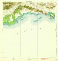
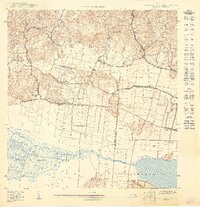
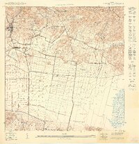
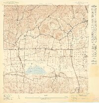
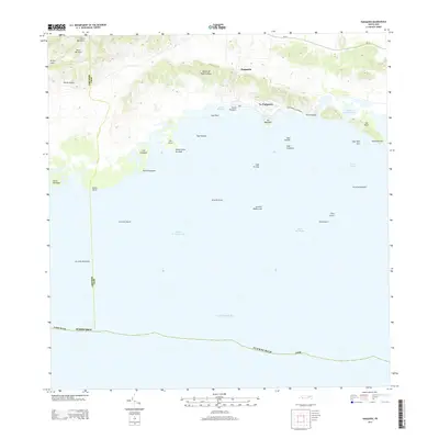
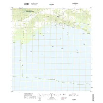
Editions of this 1938 Parguera Map
4 editions found

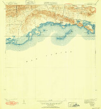
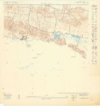
Historical Maps of Villa Caribe Through Time
11 maps found
1938 Parguera
Lajas Municipio, PR
1949 Parguera NE
Lajas Municipio, PR
1949 Parguera NO
Lajas Municipio, PR
1949 Sabana Grande SO
Lajas Municipio, PR
1949 San German SE
Lajas Municipio, PR
1949 San German SO
Lajas Municipio, PR
1957 Parguera
Lajas Municipio, PR
1966 Parguera
Lajas Municipio, PR
2013 Parguera
Lajas Municipio, PR
2018 Parguera
Lajas Municipio, PR
2024 Parguera
Lajas Municipio, PR