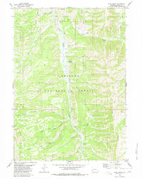
1980 Map of Park Creek
USGS Topo · Published 1980About this map
Greys River carves a deep valley through the heart of the Bridger National Forest in this 1980 edition, serving as the central drainage for a network of high-elevation tributaries. The map shows a landscape largely defined by its lack of permanent settlement, where human activity is focused on recreation and seasonal access. Significant landmarks like the Forest Park Campground and an extensive Pack Trail system underscore the area's role as a backcountry destination.
Find a feature on this map
21 named features on this map. Tap any name to fly to it.
Don’t see what you’re looking for? This feature index may not catch every label — zoom into the map to look around manually.
Map Details
Editions of this 1980 Park Creek Map
2 editions found
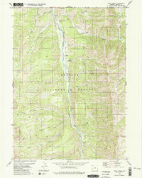
Other maps of this area

1921 · Afton
USGS Topo · 1:125,000

1955 · Preston
USGS Topo · 1:250,000

1958 · Preston
USGS Topo · 1:250,000

1962 · Preston
USGS Topo · 1:250,000
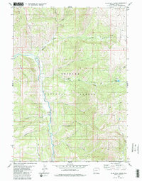
1980 · Blind Bull Creek
USGS Topo · 1:24,000
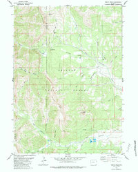
1980 · Triple Peak
USGS Topo · 1:24,000
1980 · Man Peak
USGS Topo · 1:24,000
1980 · Mount Schidler
USGS Topo · 1:24,000
1980 · Box Canyon Creek
USGS Topo · 1:24,000
1980 · Red Top Mountain
USGS Topo · 1:24,000