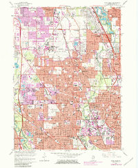
1963 Map of Park Ridge
USGS Topo · Published 1981About this map
Naval Air Station Glenview serves as a dominant landmark in this mid-century portrait of Chicago's northern suburbs, an era of rapid residential expansion and well-established religious institutions. The landscape is characterized by a dense network of educational and spiritual centers, including the Convent of the Holy Spirit, St Marys Mission House, and the Villa Redeemer Monastery. While residential growth is evident in the sprawling street grids of Glenview, Park Ridge, and Morton Grove, significant land remains dedicated to the Forest Preserve system and extensive burial grounds such as Mary Hill Cemetery and St Adalberts Cemetery. Transportation corridors like the Chicago and North Western railroad and major arteries such as Milwaukee Ave and Waukegan Road define the suburban layout, reflecting the area's integration into the greater metropolitan economy before the full enclosure of later development.
Find a feature on this map
106 named features on this map. Tap any name to fly to it.
Don’t see what you’re looking for? This feature index may not catch every label — zoom into the map to look around manually.
Map Details
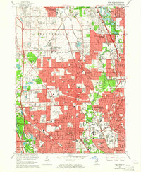
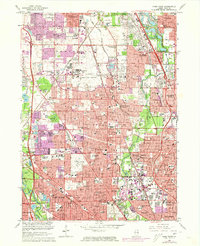
Editions of this 1963 Park Ridge Map
Other maps of this area

1889 · Chicago
USGS Topo · 1:62,500

1891 · Chicago
USGS Topo · 1:62,500

1891 · Riverside
USGS Topo · 1:62,500

1893 · Riverside
USGS Topo · 1:62,500

1899 · Evanston
USGS Topo · 1:62,500

1900 · Chicago
USGS Topo · 1:62,500

1900 · Riverside
USGS Topo · 1:62,500

1900 · Highwood
USGS Topo · 1:62,500

1901 · Riverside
USGS Topo · 1:62,500

1901 · Chicago
USGS Topo · 1:62,500