
1959 Map of Park Valley
USGS Topo · Published 1960About this map
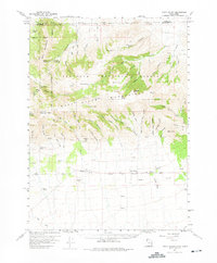
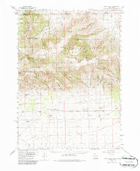
The Raft River Mountains dominate the northern landscape of this Box Elder County survey, providing a sharp contrast between high peaks and the valley settlements below. Small agricultural communities such as Rosette and Park Valley are established along the foothills, where numerous water sources like Big Spring and Birch Creek emerge from the high country. The map highlights the early infrastructure of the Sawtooth National Forest, including the One Mile Guard Sta and a network of jeep trails and tunnels that service the high elevations near George Peak.
Find a feature on this map
68 named features on this map. Tap any name to fly to it.
Don’t see what you’re looking for? This feature index may not catch every label — zoom into the map to look around manually.
Map Details
Editions of this 1959 Park Valley Map
3 editions found
Other maps of this area

1954 · Pocatello
USGS Topo · 1:250,000

1954 · Brigham City
USGS Topo · 1:250,000

1958 · Pocatello
USGS Topo · 1:250,000

1958 · Brigham City
USGS Topo · 1:250,000

1959 · Strevell
USGS Topo · 1:62,500

1959 · Kelton Pass
USGS Topo · 1:62,500

1959 · Yost
USGS Topo · 1:62,500

1962 · Brigham City
USGS Topo · 1:250,000

1968 · Jim Sage Canyon
USGS Topo · 1:24,000

1968 · Naf
USGS Topo · 1:24,000