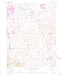
1965 Map of Parker
USGS Topo · Published 1980About this map
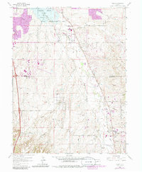
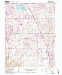
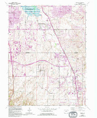
Cherry Creek Lake and its surrounding Cherry Creek State Recreation Area dominate the northern landscape, where early suburban growth begins to encroach upon the high plains of the Smoky Hill region. The 1965 survey, updated with 1978 photogrammetric data, captures the transition of the Parker area from a quiet settlement near Sulphur Gulch into a more connected community. The presence of the Arapahoe County Airport and the Aurora Water Well Field highlights the infrastructure required for the burgeoning development south of Denver.
Find a feature on this map
31 named features on this map. Tap any name to fly to it.
Don’t see what you’re looking for? This feature index may not catch every label — zoom into the map to look around manually.
Map Details
Editions of this 1965 Parker Map
7 editions found
Other maps of this area

1890 · East Denver
USGS Topo · 1:125,000

1894 · Castle Rock
USGS Topo · 1:125,000

1913 · Castle Rock
USGS Topo · 1:125,000

1935 · East Denver Nos. 3 and 4
USGS Topo · 1:48,000

1939 · Coal Creek
USGS Topo · 1:24,000

1939 · Elizabeth
USGS Topo · 1:62,500

1940 · Englewood
USGS Topo · 1:31,680

1940 · Piney Creek
USGS Topo · 1:24,000

1940 · Castle Rock
USGS Topo · 1:62,500

1941 · Fitzsimons
USGS Topo · 1:31,680