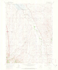
1965 Map of Parker
USGS Topo · Published 1967About this map
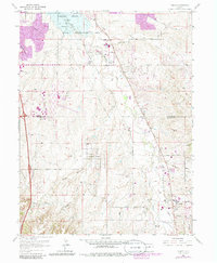
The Cherry Creek State Recreation Area dominates the northern reaches of this mid-1960s survey, defined by the Cherry Creek Reservoir at its center. This landscape transition between the expanding suburbs of Denver and the rural gulches of Douglas County reveals a network of emerging residential enclaves like Grandview Estates alongside traditional landmarks. Local history is anchored by the Lewis Cem and the Radio Tower (KOA) near the Rodeo Ground, showing a community still rooted in its ranching and open-space origins even as recreational and infrastructure developments arrive.
Find a feature on this map
37 named features on this map. Tap any name to fly to it.
Don’t see what you’re looking for? This feature index may not catch every label — zoom into the map to look around manually.
Map Details
Editions of this 1965 Parker Map
7 editions found
Other maps of this area

1890 · East Denver
USGS Topo · 1:125,000

1894 · Castle Rock
USGS Topo · 1:125,000

1913 · Castle Rock
USGS Topo · 1:125,000

1935 · East Denver Nos. 3 and 4
USGS Topo · 1:48,000

1939 · Coal Creek
USGS Topo · 1:24,000

1939 · Elizabeth
USGS Topo · 1:62,500

1940 · Englewood
USGS Topo · 1:31,680

1940 · Piney Creek
USGS Topo · 1:24,000

1940 · Castle Rock
USGS Topo · 1:62,500

1941 · Fitzsimons
USGS Topo · 1:31,680